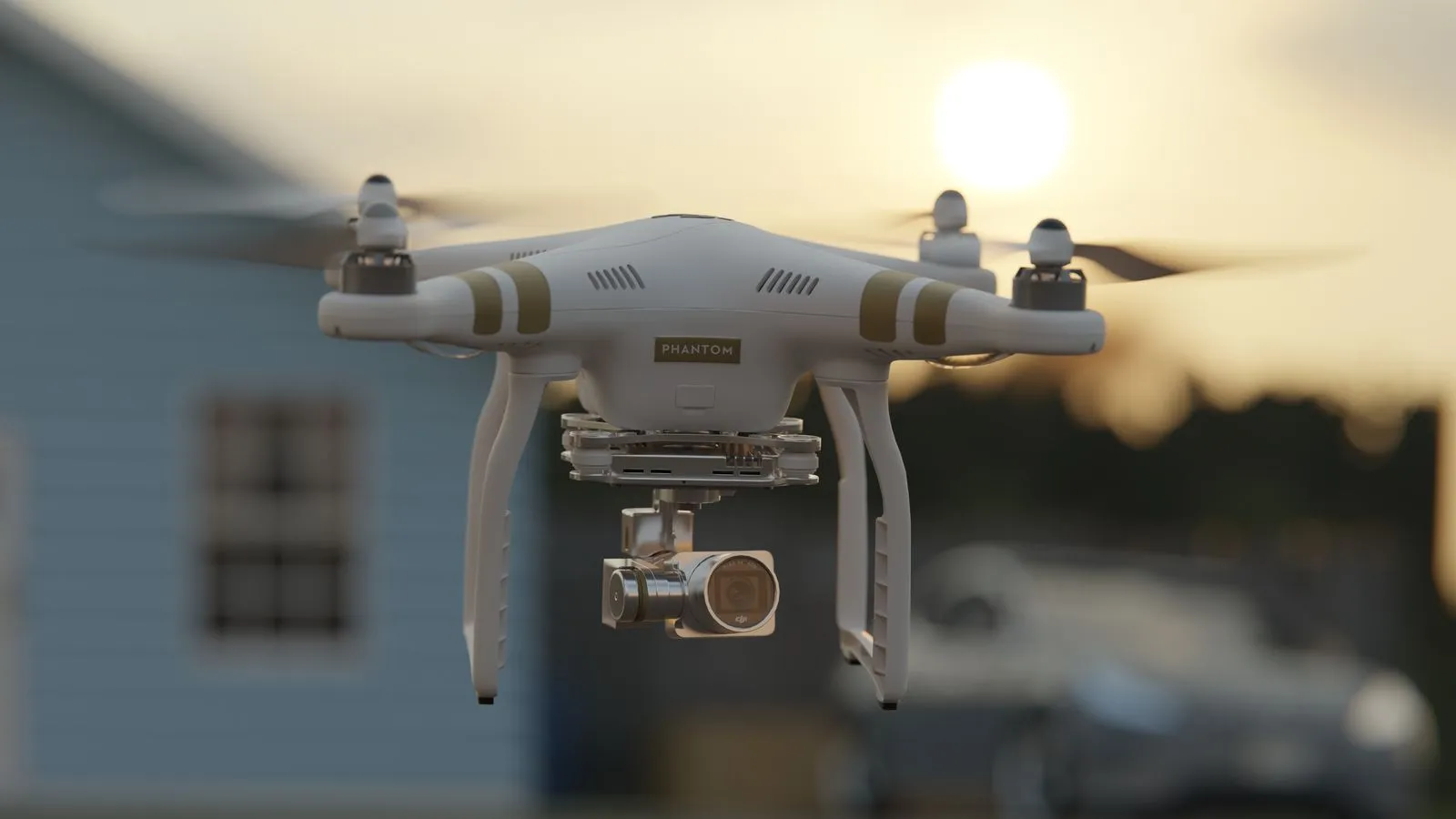
Aerial video gives you a broad view of a field that can be hard to capture from the ground. Recorded at planned points in the growing season, it can show how crop cover, field patterns, and visible conditions change over time. The footage is a visual record, not a substitute for walking fields or agronomic advice. With a consistent route and timing, repeat visits make it easier to compare what has changed and decide where closer inspection may help.
What Footage Can Show
Early-season footage can document planting patterns, emergence, and differences in visible crop cover. A high, wide view helps place those observations in context, while lower passes may show detail in selected areas. Keep camera height and direction consistent when you plan to compare visits; otherwise, changes in perspective can make the same field look different.
As the canopy develops, video can capture variation in crop density, gaps, lodged areas, and visible water patterns. It may also show changes near field edges, headlands, or drainage features. These are visual clues, not diagnoses: a drone image alone cannot confirm the cause of uneven growth or determine what action to take.
Build a Visit Schedule
Choose visit dates around meaningful crop stages rather than relying only on a calendar. A useful plan might include a baseline after emergence, one or more midseason visits, and a later-season recording before harvest. Adjust the timing to the crop, planting schedule, weather, and the questions you want the footage to help answer.
Use a written flight plan for each visit. Record the field or block, date, approximate flight height, route, direction of travel, and any notable conditions. Repeating the same route and framing makes side-by-side review more useful. If weather or field access forces a change, note it rather than treating the footage as a direct match.
Make Comparisons Useful
Capture a wide establishing view, then record targeted passes over areas you want to revisit. Include recognizable landmarks such as field boundaries or access lanes so you can locate the same spots later. Keep clips steady and long enough to review, and label files by field and visit date instead of relying on memory.
Review footage alongside ground observations, field notes, and other records. If a section appears thin or stressed, inspect it on foot when practical and consult the appropriate crop adviser. Consistent video can help you communicate where a concern appears and how its visible pattern changes, but it does not measure yield or replace field sampling.
Plan Safe, Practical Flights
Before each visit, check weather, battery readiness, airspace requirements, and any applicable flight rules. Avoid flying when wind, rain, or poor visibility could compromise control or image quality. Keep people, vehicles, livestock, and equipment in mind when choosing launch and landing areas, and coordinate with anyone working nearby.
Decide in advance how footage will be stored and shared. Use clear file names, keep an original copy, and organize clips by field and crop year. Northfield Aerial can help farms plan repeat visits and capture field footage, while the farm team remains best placed to explain field priorities and interpret crop conditions.
A repeatable drone-video plan can turn separate flights into a clear visual record of crop progress. Choose visits around crop stages, keep routes consistent, and pair aerial views with on-the-ground observations. Start with the fields and questions that matter most, then refine the schedule as the season unfolds. For help planning a farm video visit, contact Northfield Aerial.